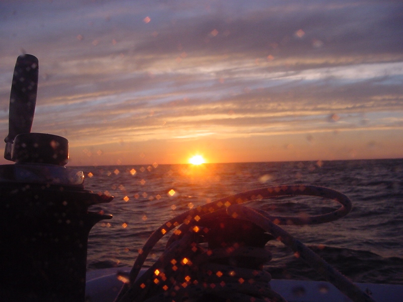
I settle on a close reach in a North East wind leaving South Bass Island. The day passes uneventful with a few tacks. My progress up Lake Erie is painfully slow. I sail into the dark to make Rocky River. Anchoring each night on the lakes is a safety issue. Fatigue plus darkness is a recipe for mistakes. I must always put safety first, otherwise I’m just some stunt man vying for attention. Not my style. I calculate risk, check variables and weather and play a lot of “what if” scenarios in my head. Darkness in its self is not dangerous. Fatigue is more so in its ability cloud reason. I make for an anchorage aware I have both.
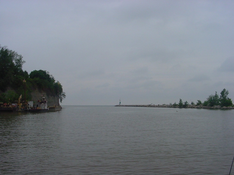
I won’t always have the luxury of protected anchorages. I’ll deal with that, then. Tonight I anchor just inside the breakwaters of the Rocky River below the cliffs where mansions overlook the river and lake. I hope they do not resent my presents in their view. The CAP’N LEM is lovely to look at, clean, sleek and tidy. Tomorrow I’ll be gone leaving no trace of my having been here but a scratch in the mud 8 feet below the surface of the water at Latitude 41° 29’ 21.5” N ~ Long 081° 50’ 11.7” W. This point is the south most I will travel this voyage. It is all up from here.
NOTE: I have changed the format for reporting my latitude and longitude from degrees, minutes, tens, hundred, thousands to degrees, minutes, seconds, tenths of seconds. Google earth is in this format and this may help some locate my anchorages easer.
The accuracy of the positions is based on my GPS unit and the numbers imply accuracy that may or may not be there. Many times the GPS Map Plotter and the track line do not match on large scales showing small areas, but the “repeatability” of the track is very accurate. By that, I mean if a track line goes over a break water coming in because the map is not exactly where it should be, I can find my way out again by following my track line in luau of the map. I often use this coming out of shallow water areas. If I got in I can get out. That will change with salt water and tides. On those scales, I always use my seaman’s eye to keep from hitting anything. The GPS gets me close enough to do that. My radar on the other hand shows me buoys and breakwaters as they really are and therefore is the major instrument in fog. However, it too, has draw backs at close range. Too close and the object disappears in the clutter. Nothing replaces good seamanship. All limitation taken into consideration allows me to enter these very tight spaces in safety in the dark.
NOTE TO TEACHERS: The concept of minutes and seconds being measurements of arc as well as time is very complicated at any age. When I speak of “arc” it is the curvature of the earth expressed in degrees, minutes and seconds. One can be converted to the other and the math involved is interesting and not that hard once it is understood that one minute of time does not equal one minute of arc nor does seconds of time = seconds of arc. It all has to do with the spin of the earth on its axis. Facts: it takes the earth one hour of time to travel 15 degrees (one time zone), 24 hours of time to travel 360 degrees (one day). Leap years are important. The sun never rises or sets, the earth turns. And the sun is the only star you can see in the daytime with the eye. In electronic navigation, nano-seconds count.

Through my window on the world

Rocky RiverDeparting Rocky River

Hey Cap,
Still following your progress and enjoying the ride everyday! Glad the guides were helpful, I’ll be needing them myself soon for a little summer adventure. Fair winds, Mark
Hi Tommy!
I’m following your blog posts every evening.
Thanks for doing this, it’s getting me fired for cruising this summer!
Barry
Very much enjoy your posts. Thank you for “taking us along”.
Good luck and god speed, sir.
Hey Tommy,
We are still tracking you too. I tried your email and several others but they turned back up in my inbox. Could you send me an eamil first? I don’t want to clutter your adventure with our personal lives but would love to keep you abreast of the “Parker Happenings”. We miss you and think of you dialy. Matthew
Put-in-bay to Rocky River wasn’t bad. Hope wind improves (swings) and you can make Geneva or further today. Fair winds!
Captain Tommy,
Thank-you for your latitude and longitude lesson. Finding your location on Google Earth helps us to understand the meaning of the lines. We are really enjoying following your journey and we especially like the pictures. We wish you a safe trip with good winds.
Brookside 4th graders
Captain Tommy, FYI you can change how the GPS readings readout in Google Earth just as you can on your GPS unit. On Google Earth go to “Tools – Options – 3D View” then make your selection. This way you can match your GPS & Google Earth in the format you like the most.
I am enjoying following you and reading your blogs. Barb and I are getting ready for our own adventure racing the Yukon River Quest. We will be back in touch after the blisters heal.