Archive for August, 2010

1800 August 4, 2010

Wednesday, August 4th, 2010

Position report: 60° 01′ 50″N ~ 064°11’43″W anchored, Air temp 47°F Seawater (in the bay) Temp 45.7°

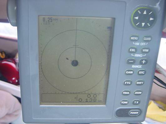
I left Bowdoin Harbor with working radar. The antenna drive belt had come lose again. I’m resolved to using it sparingly. It might have something to do with running while the boat is pitching in the swell. If, or more like it, when it comes off again I’ll fabricate a shim to hold the spindle higher. Let’s hope I don’t have to attempt that at sea.

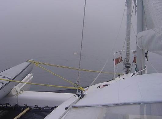
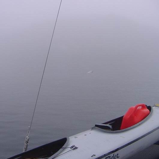
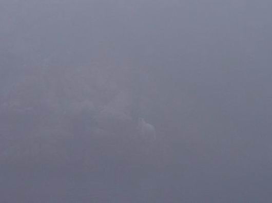
The working radar is all the difference in the world in the fog. Yes, the fog closed in again as I made my way slowly south. The pictures first show the radar then what came out of the fog. When it works it works well. Considering the age is it any wonder the belt might be a little stretched.

bowdoin-harbor-to-shoal-harbor-036resized

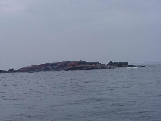
I encountered another bear sitting on a rock island just outside the harbor as I made my way to sea. The boat didn’t bother her coming toward the island. I say her because of size compared to the big guy last night. When I made smacking noises, though, she took offense and scampered out of sight. I don’t know where she went because she was no where to be seen on the other side of the island.

bowdoin-harbor-to-shoal-harbor-030resized

Tonight’s anchorage is in Shoal Bay near Williams Harbour where I found such good anchorage. This seems good, too. I backed down hard on the anchor rode and it held. There is some ice in here, left over bergy bits from the big grounded bergs out along the coast. If they come to the boat then I’m convinced they are magnetic. It’s a lovely lonely place with caribou roaming on the beach. I don’t know what they do on the beach but this is twice I’ve seen them their.

I am looking forward to a peaceful night and day tomorrow as I wait a change in the winds. Forecast calls for 25 Southeast, right where I want to go. By waiting a change I can cover much more ground with lot less ware and tare on the boat and me.

My next stop I hope to Hebron. It all depends on the wind. Maybe I can transit the Mugford Tickle again!

2100 Position Report

Tuesday, August 3rd, 2010

At anchor on Killing Island, Labrador 60 20′ 24.4″N ~ 064 28′ 35.7″W

Bear Country. Biggest dang polar bear I’ve ever seen and it was right in the way of coming into my harbor.  Or maybe it’s his harbor, but I’m not moving out into that fog for him or anybody.  I spent 6 straight hours staring at white to get here, he’ll just have to share tonight.  Tonight I’m sleeping straight through unless I have to wrestle a bear off the boat.

After I took a couple of pictures he climbed out on the island guarding the harbor. Sorry the picture is so bad but its the fog! He was so magnificent all I can say he truly is the king of this land. He doesn’t look so big in the water but its just my snapshot photography.

polar-bear-009resizedpolar-bear-010resizedpolar-bear-012resizedpolar-bear-013adjusted-and-resized

August 2, continued

Tuesday, August 3rd, 2010

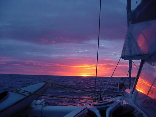
“Red sky in the morning, sailor take warning” must surely have been penned by someone who looked on the same redness in the rising sun as I saw this morning. I can only imagine what must have followed that red sky for him but I am intimately acquainted with what followed my RED SKY IN THE MORNING.
sunrize-baffin-island-031resized

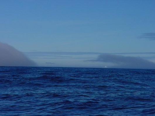
Fog eating iceberg

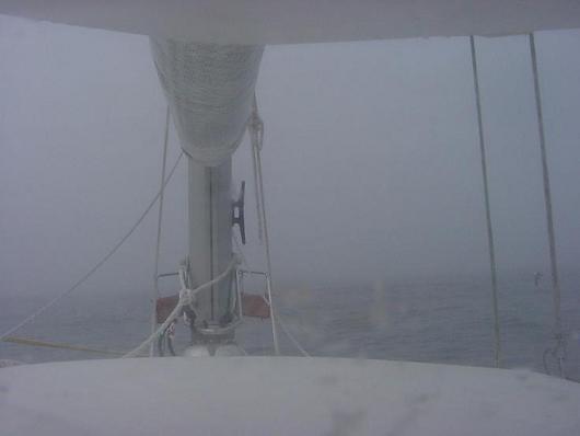
The fog ate the icebergs around me one by one before seizing hold of the whole world as I knew it. The wind veers to the northwest and seems to spew the fog from a nozzle. The red of the morning is gone. The horizon is gone. Even the line between air and water fails to be discernable. This is no tall tell and I’ll not say “couldn’t see the bow”. The CAP’N LEM is only 31′ long. I could see the bow and perhaps one more boat length into the gray white mist over gray blue water. As the cream dissolves into the coffee so the fog dissolved into the water.

My little radar flashes its warning HD-SIG-MISS on the screen and is useless. I leave it on anyway. I become obsessive with staring into the fog only allowing a glance at the plotter now and them. I break away long enough to take in the headsail to slow my progress even farther. Then back to the stare. It takes me 35 minutes to open and warm a can of chili for breakfast. (Get the can, go back and stare, get the can opener, go back and stare, get pan, go back and …) My minds eye sees over and over the 200′ wall of ice from last night’s nightmare.
sunrize-baffin-island-027resized

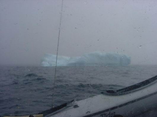
berg in fog

How long do I stare in to the nothingness before I see something move in the water off to port? 20 minutes, 40? A bergy bit wallowing in the swell. For a moment I’m relieved to know just how far I can see. Perhaps 50 yards, more or less. It passes on into the fog and once again I lose all perspective, but there are more. My speed over the ground, 1.6 kts, mostly from the little engine at idle ahead, ready to help if I need to turn quickly. It would help me stop to if I slam it into reverse. Still I only creep. The wind is in the fog and I pick up speed with the mainsail along and I don’t like it but I just keep staring into the white of it all. 2.5, 3.2, way too fast for comfort.

Vision is based on contrast, here there is no contrast beyond the lines of the vessel and a few wavelets on the water close aboard. I jump at shadows. A cold tingle races up my spine. You know the kind, like someone just told you a ghost story that you believe. The fog is thick horizontally but thin vertically. There are clouds overhead and a cold hazy sun moves in and out. The shadow I see this time is the sail on the silver screen of the fog.

The next shadow is a berg, big but not especially so. I’m relieved to see it. At least I know where this one is and it’s off the port. I steer around and look for the next one. By noon, I’ve encountered 5 bergs in this manner. By noon my nerves are shot. By 1300 the fog lifts long enough to show me a clear path…south. Quickly, I e-mail Ken. I’m done, I tell him. I admit to Ken, myself, God and the whole world. I’m done, I can’t do this. Then, the fog closes in for more. My one mile trip has now become my 100 yard trip. My thoughts are, just make the next 100 yards toward the clear pathway you were shown. That’s all that is important now. The next 100 feet.

The fog doesn’t lift for another 3 hours and I see the sea ice, bergy bits and ice bergs I’ve navigated through. And that was just the beginning!

I’ve come to the doorway of the Northwest Passage and not even made it up the steps. Doesn’t matter, it has given me my White Dawn adventure, and I’m sick of it! Let the Sons of Norway* made their historic voyage. It’s fitting. Let them prove the Corsair -31 a proper vessel for the Northwest Passage. I have nothing to prove. Not to myself or to anyone. After hours of staring into the unknown I see the fate of Franklin, the misery of Amundsen, the disappointment of those who tried and failed and those that tried and died. I’ve seen enough ice to last a lifetime.

It was a beautiful dream to sail the Northwest Passage and now it is a beautiful reality to turn my back on it and head toward other adventures. If we’ve learned anything at all, it is this: The journey and not the destination is the adventure. The destination was just a wonderful excuse. Let’s go to Labrador and look for white bear!
sunrize-baffin-island-022resized

Position Report August 2, 2010

Monday, August 2nd, 2010

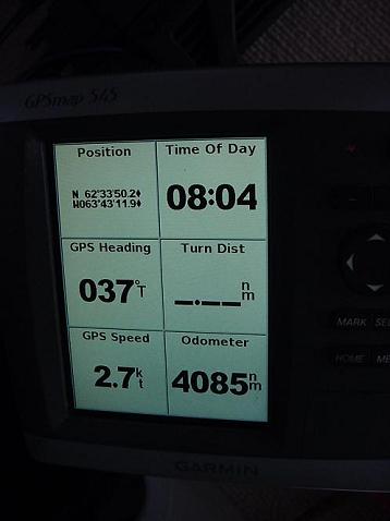
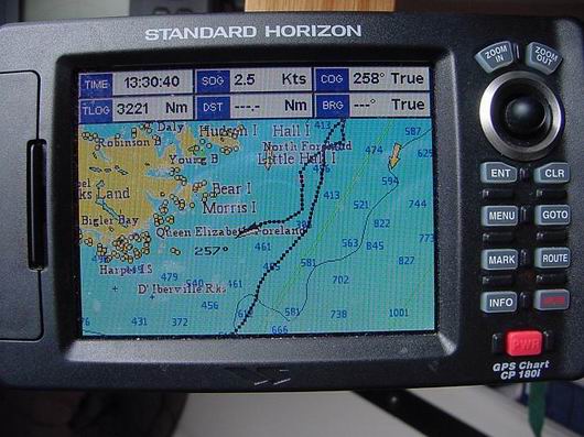
Position at 0804 August 2, 2010. 62° 33′ 50.2″ N ~ 063° 43′ 119″ W course 037° speed 2.7 kts. Having traveled 85 nautical miles in 24 hours. Sea water temp. 35° F Air temp. 38° F

sunrize-baffin-island-007resized

I missed a wakeup. When I came to and realized how long it had been since I had scanned the horizon I leapt up. The first thing I saw was bergy bits everywhere, big ones. The second thing I saw was it. It was a cliff of ice 200 feet tall not ½ mile away. That will haunt my nightmares for years to come. Each berg is under cut by the sea much the way the tree that fell on my motor home was. If I hit one square on no doubt it would calve. End of story. (I didn’t take its picture. A don’t need it. I see it every time I close my eyes.)

Red sky in the morning, sailor take warning!

Red sky in the morning, sailor take warning!

Then the sun rose the likes I have never seen in its redness and eeriness. Morning chores. No sleeping now, though I can hardly hold my eyes open, I remember and photo the 0800 position. By 0810 the fog hits.

sunrize-baffin-island-017resized

To be continued.

August 1, 2010 Position Report

Sunday, August 1st, 2010

Labrador is no more to be seen over the stern of the CAP’N LEM. I can only glimpse now and again the vague outline of Resolution Island to the west of me. It’s been a slow crossing of the Hudson Strait and that’s just fine by me.

Now the sun is up though hidden in grey stratus clouds and with it the wind picks up to a respectable 10 kts from the south west. The forecast call for south to south west at 15 throughout the day.

Sunday is good to me. I can settle into my at sea routine. Check position, check horizon, and check the lines and sails. Make my coffee, watch the sea go by, make my bed, watch the sea go by, shave and brush my teeth, watch the birds fly by. All the while knowing time is motion, time moves the boat and boat moves me.

I do not know when or where I will pull in next. The settlements on southern Baffin Island are up the fjords and would require backtracking to make any more headway north. I hate backtracking!

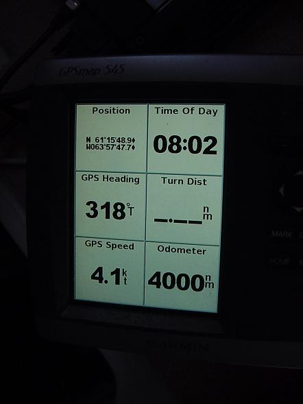
At 0801 local time, (-3) on this day August 1, 2010 in position 61° 15′ 48.9″ N ~ W 063° 57′ 47.7′ W the odometer on the Garman GPSmap 545 turned 4000 nautical miles for Two Harbors Minnesota since April 6th, 2009. I still can’t bring myself to figure the miles left to go. The adventure is open ended and will direct itself. Many factors beyond my prediction and of course beyond my control will come to play in that final figure.

I’m quickly rewarded with …fog. An hour later, it’s gone. I test the seawater temperature. 40.2° F. The air temperature is 49.0° F. I expected it to be lower. I’m learning to only expect the unexpected.

4000-miles-002resized